Ray Mathis/NPS
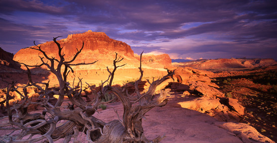
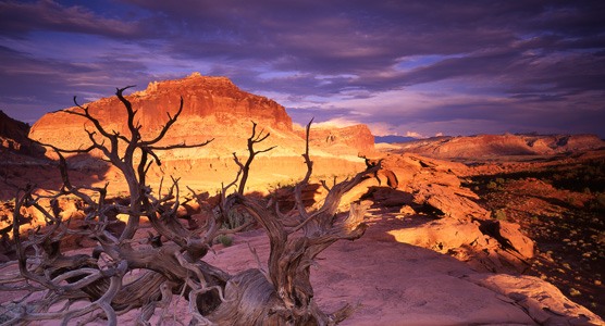
Capitol Reef National Park, in the Boulder Loop District of the Mormon Pioneer National Heritage Area is all that one would expect from a visit. There is an abundance of history of the Fremont People, the earliest dwellers who were farmers and hunters, dating back to 700 AD. The area being fertile land due to the lakes and streams made for abundant hunting and fishing, and rich farmland.
Their heritage relates them to the Ancestral Puebloans but they disappeared from the area about 1250 AD. Fortunately, these Native Americans left their records on the rock and the canyon walls.
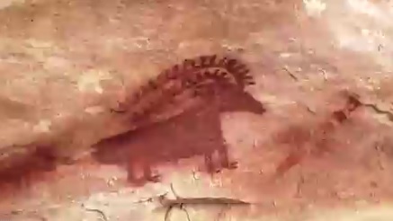
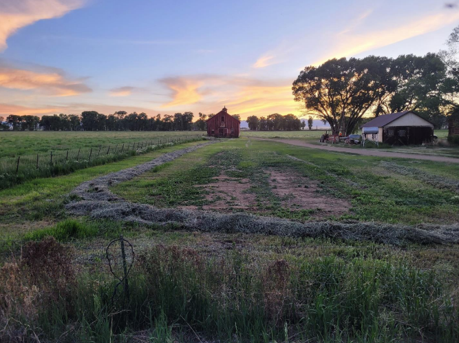
In the 1600’s the Paiute Indians took over the lands. Here the Paiute’s enjoyed all the riches that the area possessed. In the 1800’s the first pioneers located this rich land and began to establish a settlement. By 1872, the territory was no longer an uncharted area, it had been officially documented and explored
Around the 1920’s Joseph S. Hickman and Ephraim Portman wanted to preserve the natural beauty of the area so they came together to create the “Wayne Wonderland Club” to preserve and promote the area.
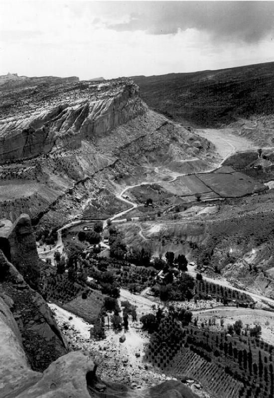
Hickman was elected to the Utah State legislature, and 16 acres in the Fruita township were designated to the status of a Utah State Park. In 1937 it reached the status as a national monument by President Franklin D. Roosevelt. It received its national park status in 1971 under the Richard M. Nixon Presidency.
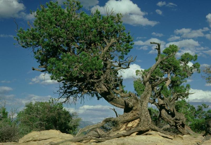
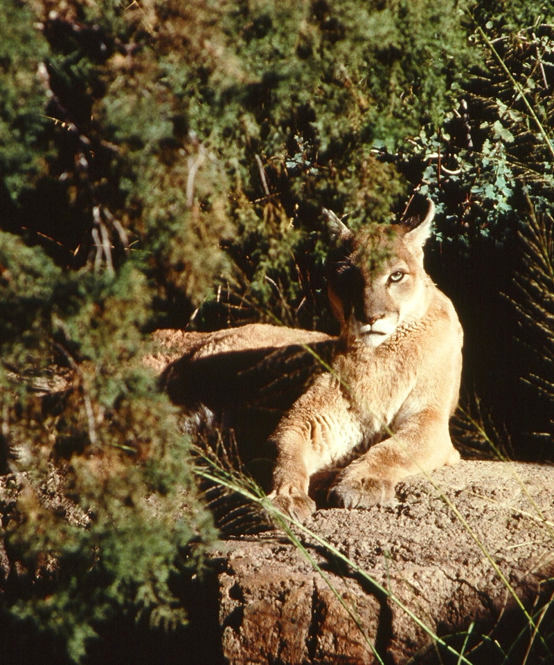
Capitol Reef National Park supports an assortment of distinctive ecosystems. The 900 species of flora and fauna, the animals, the geology, and the environmental features make the park so diverse.
Most popular sites and unique formations:
The Waterpocket Fold is the most distinguishing feature in the park, a 100-mile long classic monocline uplifted 7000 feet on the west side.
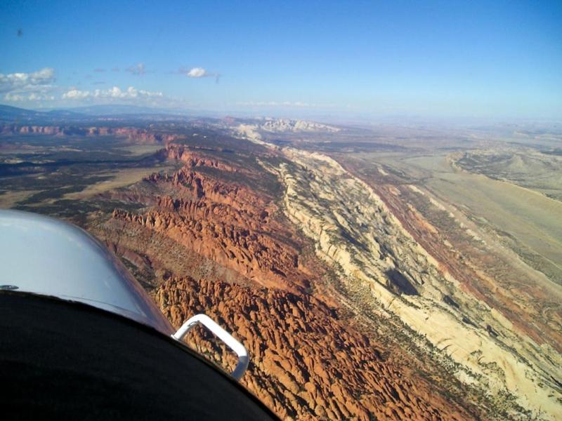
Capitol Dome is a massive white sandstone formation that resembles the U.S. Capitol building. The park was partly named for this landmark.
Chimney Rock is a towering 400-foot-tall sandstone pillar, located three miles west of the visitor center off Highway 24 and accessible via a short hiking trail.
Hickman Bridge is a huge natural arch spanning 133 feet wide and 125 feet tall. The arch is named after Joseph S. Hickman, an early advocate for Capitol Reef’s preservation.
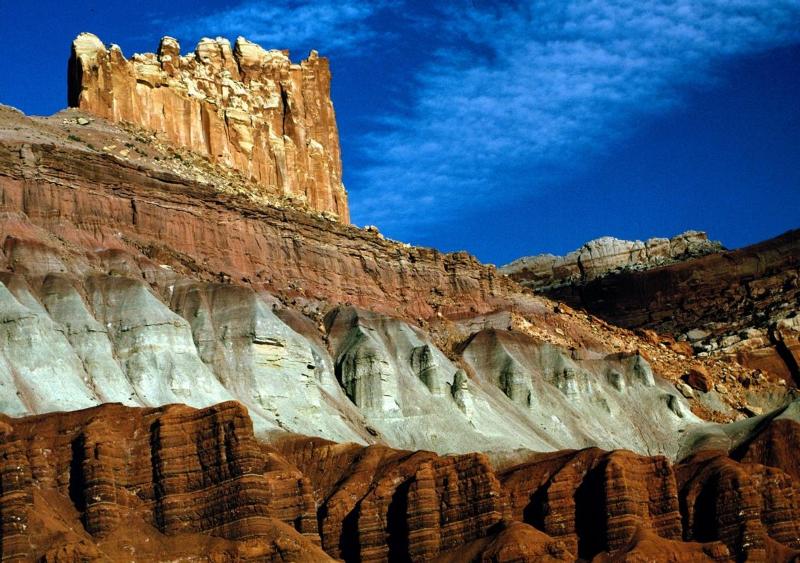
The Castle, an impressive craggy sandstone formation visible from Highway 24.
Cassidy Arch, a pink Kayenta sandstone arch spanning 50 feet, above the Grand Wash. Accessible by a moderate three-mile round trip hike.
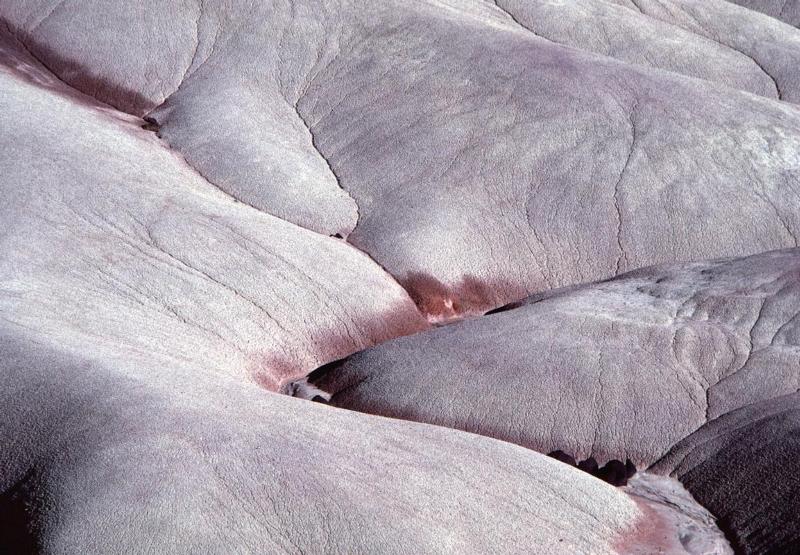
The Bentonite Hills are round formations with a checkerboard facade, located 9 miles from River Ford.
Temple of the Sun, Temple of the Moon and The Walls of Jericho are some of the massive monoliths (standing 400 to 500 feet high) located in the scenic Cathedral Valley.
Gypsum Sinkhole, is a 200-foot deep sinkhole, 50 feet in diameter, near the Cathedral Valley Junction.
Share your favorite story and photos invite upload photos on your social media #findyourpark #findyourstory
Check out the National Park Service plan your visit to get the most of your experience.

