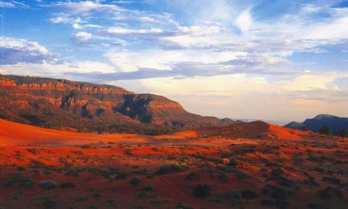
The Under the Rim District of the Mormon Pioneer National Heritage Area is aptly named for its location beneath the red rock rims of the Colorado Plateau. Located in approximately the middle of the Four Corners areas in the southwest region of the United States covers 130,000 miles in Utah, Colorado, Arizona and New Mexico.
The main landscape is best described as high desert with a sprinkling of forests to add to the beauty and charm of the heritage area. Within the southwest corner of the Plateau is the Grand Canyon. The Colorado Plateau’s landscape follows with the Grand Canyon. It however boasts the nickname “Red Rock Country”.
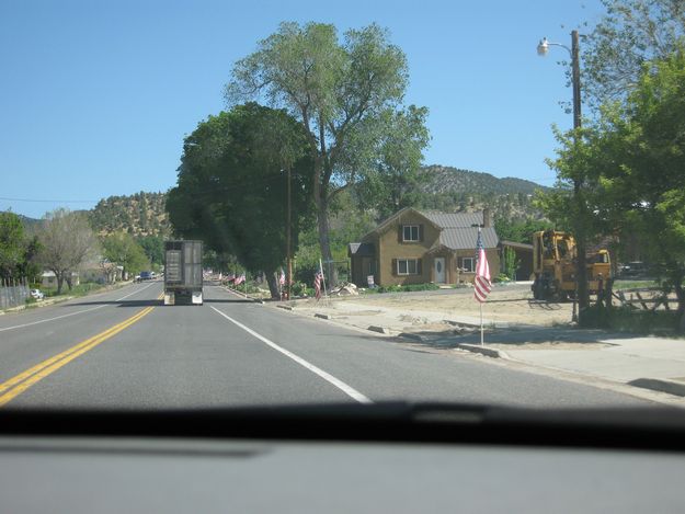 Alton came into being in 1907 when Jonathon Heaton and other settlers established the community. They surveyed the land and laid out nine 10-acre blocks, dividing each into four lots, with a center block reserved for a town square. Ranches and agricultural opportunities provided the magnet that pulled settlers from Upper Kanab, which became a ghost town. Alton survived. Cattle, horses, and men working the land graphically convey the heritage of Alton.
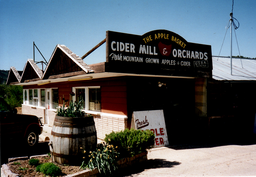 Glendale’s history dates from 1864, when the town was founded as Berryville by Mormon brothers named Berry. The area was also called Windsor at one point. It was fortified as a stockade and used for protection by Long Valley residents during the Indian skirmishes of 1865–66. These battles led to the abandonment of the village. The area was resettled in 1871 by groups from the “Muddy Mission,” and two cities (Glendale and Mt. Carmel) emerged from the previous settlements. The name Glendale came from Glendale, Scotland, the former home of Bishop James Leithead. When the original settlers to the area returned, a conflict between the two groups emerged because many of the new settlers wanted to live the United Order. To resolve the conflict, the families interested in living the order moved three miles to the east and established Orderville.
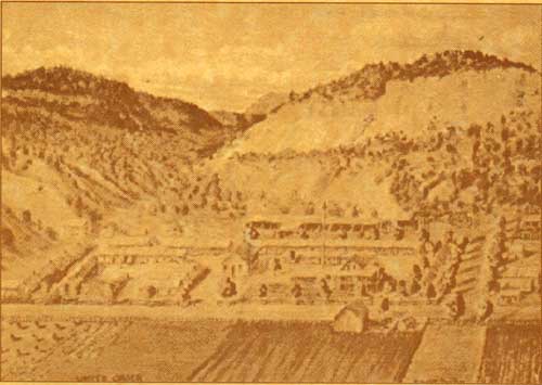
Orderville was one of the most successful American experiences in cooperative living. From 1874 to 1886, its people pooled their wealth and turned over their proceeds to a common storehouse, sharing equally with everyone according to need. They operated sawmills and dairies, raised sheep and cattle, and engaged in farming, including dry farms. They also developed a woolen cloth factory, worked in basket making and silk farming, and maintained a variety of home industries. Although the United Order practice was discontinued, the town’s records provide a fascinating study of human nature and practical economics.
Mt. Carmel was settled by Dr. Priddy Meeks in 1864 and was originally called Winsor. As with many towns along the corridor, Native American challenges led to the town’s abandonment in 1866. The town was resettled in 1871 by people from the Muddy River towns and renamed Mt. Carmel after an area in Palestine. The name means “a park of garden land.” Many families from Mt. Carmel moved to Orderville to participate in the United Order.
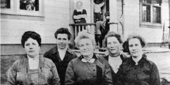
Kanab was first settled in 1858, but was resettled several times because of conflicts with the Native Americans. The name Kanab is derived from an Indian word for a basket carried on a mother’s back for transporting her baby. In 1911, a group of politically prominent men in this community thought it would be humorous to ask the townspeople to vote for an all female town council. The joke was on the men, though, when no one would run against the women. They became the first all-female town council in the United States. The council rid the town of pigsties, liquor, gambling, stray dogs, and Sabbath breaking. Many said the five women accomplished more than any Kanab city council had done before them.
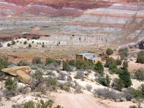
Paria is located where Highway 89A splits from Highway 89 and heads south into Arizona toward the north rim of the Grand Canyon. The town was named for the Paria River. Located on the banks of Paria and Cottonwood creeks, Paria was first settled in the 1860s, was abandoned because of Native American conflicts, and was then resettled in 1870. Because of its isolation, the town served as a hideout for polygamous wives for a number of years.
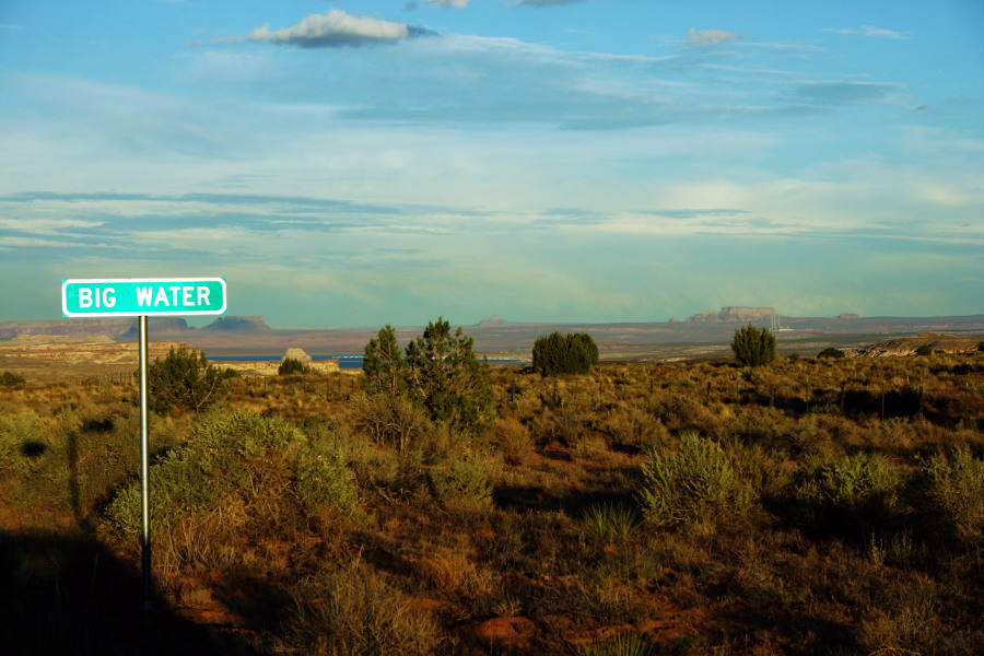 Big Water was originally called Glen Canyon City. The town became the home for workers who built the Glen Canyon Dam in the 1950s. In 1976, non-Mormon Alex Joseph and his extended polygamous family settled in Glen Canyon City after being forced off Bureau of Land Management (BLM) land they had attempted to homestead. Joseph’s group petitioned for incorporation, and on December 29, 1983, the town was incorporated as Big Water, with Alex Joseph as the first mayor.
The greatest concentration of the U.S. National Park Service units in the United State are contained within the Colorado Plateau. Zion National Park is the only National Park in the Under the Rim Heritage District. It also was the first National Park in Utah.
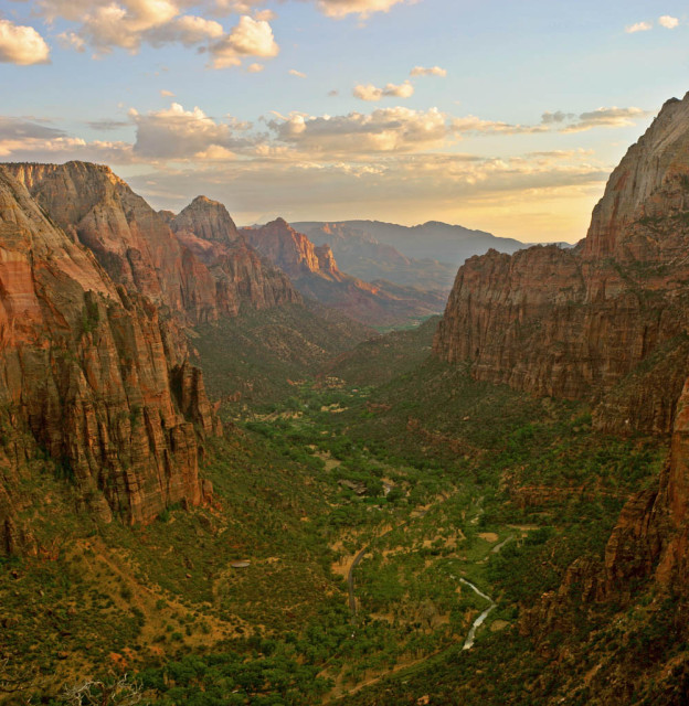
The greatest concentration of the U.S. National Park Service units in the United State are contained within the Colorado Plateau. Zion National Park is the only National Park in the Under the Rim Heritage District. It also was the first National Park in Utah.
Zion National Park is Utah’s oldest and most popular National Park. It provides beautiful, spectacular slot canyons. This area is rich in history and seems to provide an air of reverence when visiting.
There are many activities that you can find In Springdale, a great surprise awaits those who wish to be adventurous in a culinary adventure. At the Bumble Berry Inn you will discover a most delicious pastry made from the Bumble Berries, which are only grown in this region, as the legend goes. It is certainly a must see and stop for a treat on your visit.
It has a rich history of the ancient Native American’s and the early pioneers. The massive cliffs of sandstone, in brilliant colors of red, purple, and pink rise up to greet the blue skies as their brilliance is ever changing with the movement of the sun. The Native American’s believed that Zion was a sacred place; they would hunt in the canyon by day but its sacredness demanded their departure before nightfall.
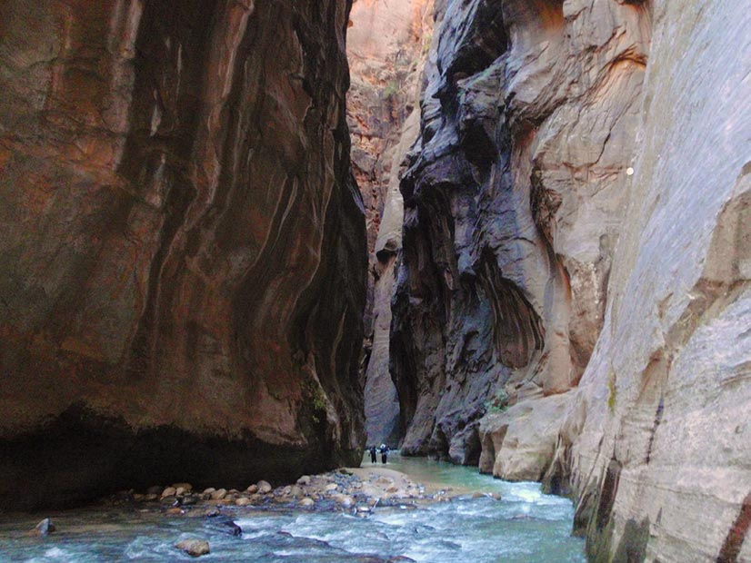
Hiking through the Narrows can be an unforgettable experience for all hikers. This is the most popular place to hike and it is no wonder since it is considered one of the world’s best canyons to hike through. Any level hiker can enjoy the beauty of the hike. Many hikers may want to take a casual hike starting from the bottom and traveling as far as they wish then turning to return. The Virgin River is the trail, so plan on getting wet. The cool water provides a cool environment in the midst of very hot summer months.
For the experienced hikers they might want to start from the top of the trail and hike the entire length of the 16 mile trek. Some may even plan an overnight backpack hike.
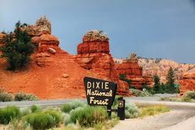
Dixie National Forest, has its headquarters in Cedar City, Utah and encompasses nearly two million acres and reaches almost 170 miles across central and southern Utah. It occupies land in three different Heritage Districts, the Headwaters, Boulder Loop, and Under the Rim.
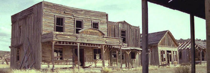
On your visit to this recreational wonderland of Heritage Districts a highlight just might be Kanab. There you can experience the Old West as shown in numerous television shows and movies.
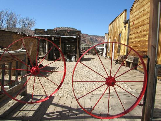
Stop by the Frontier Movie Town situated on West Center Street, you might find that your imagine may get the best of you and reminisce back to the days of “Gunsmoke” or countless other scenes from an era known as the “Old West.”
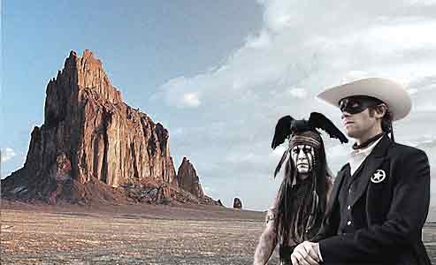
This area was also known as “Little Hollywood” in the 1940’s and 1950’s. 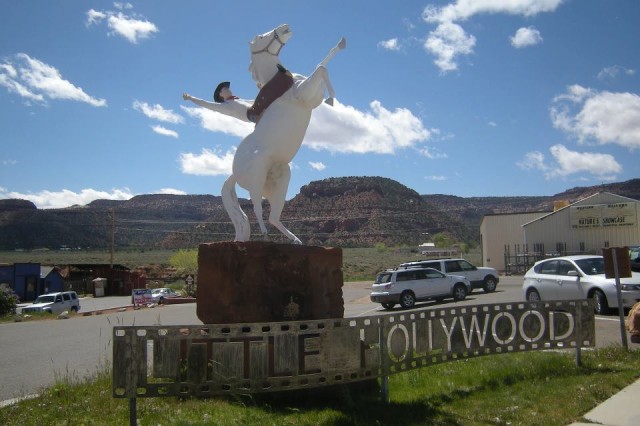
More than 100 movies and television series were filmed in this district. Approximately 900 films have been shot in Utah, over 100 were filmed in this region. While traveling through the Under The Rim district you might recognize a location or two.
In 1924, Tom Mix and his co-star Tony, The Wonder Horse, brought Kanab, Utah to the “Big Silver Screen” with his film “Deadwood Coach.”
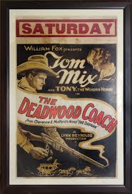
Since 1924, over a hundred Hollywood productions have taken advantage of the diverse and spectacular landscapes that make Southern Utah one of the most stunning places on Earth.
This was the beginning of a great era of filming. Although one would think that only westerns would be filmed in this most diverse and breathtaking location, such is not the case, “The Flintstones,” “The Planet of The Apes” and in 2001 “Evolution Planet of the Apes.”
Many other films were shot in the backdrop of the spectacular landscapes presenting to the world Southern Utah’s stunning and outstanding must visit locations.
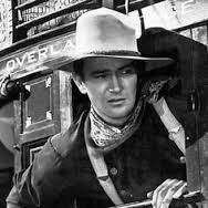
“Stagecoach” (1939) launched many firsts: John Ford’s first Monument Valley film and John Wayne’s first starring role. The tale of a stagecoach threatened by Geronimo in the wild West earned Ford a Best Director Oscar. Utah locations: Kanab Movie Ranch, Paria Canyon, and Monument Valley.
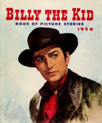
Robert Taylor staring in “Billy the Kid” (1941) tells the story of one of the West’s last outlaws and his quest for vengeance. This movie was nominated for an Oscar Award for Best Cinematography. Utah locations: Kanab Movie Ranch, Paria Canyon, and Monument Valley.
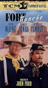
Another John Ford Western, “Fort Apache” (1948), starred not only John Wayne, but Shirley Temple and her husband Jack Agar. Utah locations: Goulding’s Lodge and Trading Post in Monument Valley, Monument Valley, Kanab, Moab, Arches National Park.
In the film “She Wore A Yellow Ribbon”
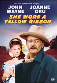
(1949) John Wayne stars as Captain Nathan Brittles who, on the eve of retirement, takes one last patrol to stop an Indian attack. His mission becomes perilous when he has to evacuate his commanding officer’s wife and niece. Utah locations: Kanab Movie Fort, Kanab, Mexican Hat, Monument Valley, and Moab.
Many stars have come to this area of the Mormon Pioneer National Heritage Area to film in the colorful area. For a genuine western flavor, this is a must see on your trip to Southern Utah.
Follow Mormon Pioneer National Heritage Area’s board Under The Rim on Pinterest.

