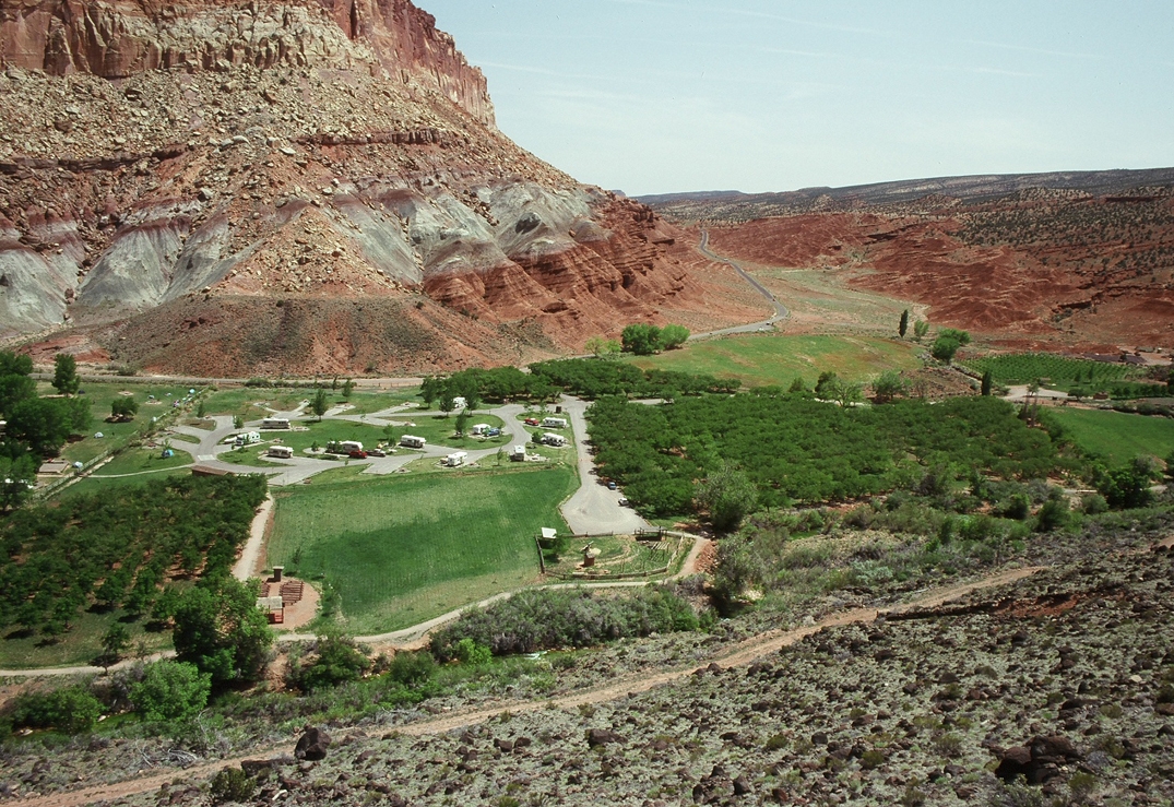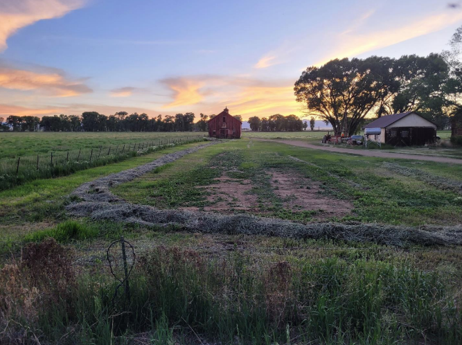
The Headwaters District of the Mormon Pioneer National Heritage Area begins at the southern tip of Sevier County and travels down Utah Heritage Highway 89 to Long Valley Junction, where it meets Highway 14 and the Cedar Breaks Byway.
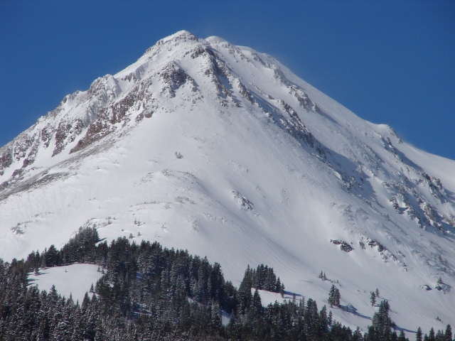
Here you will discover along the western border of the District the Tushar Range, it is the highest range in Southeastern Utah. This Heritage District includes parts of the Sevier Plateau and the Parker Range, along with the Sevier River Valley and the Grass Valley.
It was named as such for the commonality of the Sevier River, and its tributaries that flow through the many communities. For each drop of rain or a single snowflake that falls into the Headwaters or the Sevier River and its tributaries, will become a tiny drip, a small trickle, a moving stream, a flowing torrent, a river giving life to Southern Utah. The communities in Headwaters share this common bond. Each has its own distinctive traditions and are as unique as the banks from which the water flows through them.
For those looking for numerous great outdoor recreational opportunities, there are year round activities that await you in the Tushar Mountain Range. These 12,000 foot-high mountains which rise above timberline are the remains of an ancient volcano. Wildlife is plentiful, including mountain goats who feel right at home on these mountains.
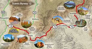
Those looking for a scenic drive to/from Sevier to Kanab are invited to embark on a for a 127 mile trip, as featured by the US Route 89 Appreciation Survey, America’s Most Scenic Road Trip.
The Paiute ATV Trail spans 278 miles. Nearly 80 percent of the trail is dirt roads with the remaining 20 percent being trail sections. This well-known trail passes through four counties, three mountain ranges, four communities, and adds an additional 550 miles that have access to side trails into 12 communities.
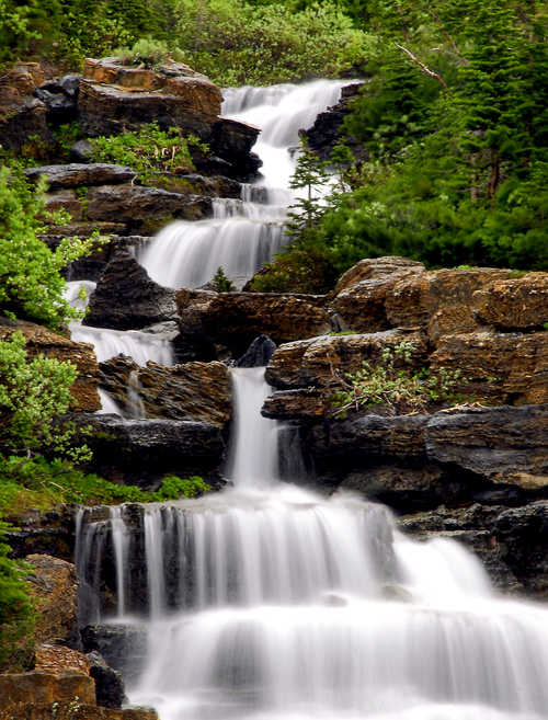
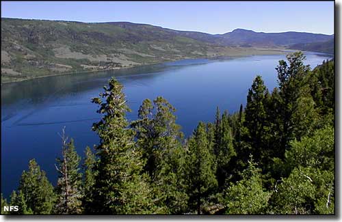
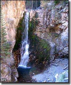
 In the winter, enjoy the thrill of the snow packed mountains that are perfect for downhill and cross-country skiing, as well as snowmobiling. Ice fishing is aplenty in the Otter Creek and Piute Lake State Parks. Summer fun awaits the outdoor enthusiast with unlimited boating, fishing, hiking, biking, rafting, picnicking, camping, horseback riding, and rock hounding, in the paradise of the Tushar Mountains, Fishlake National Forest, and Dixie National Forests.
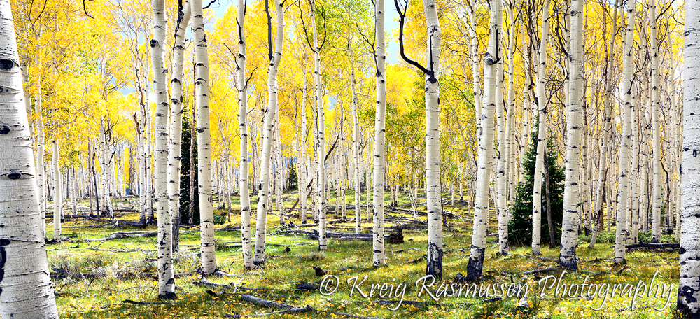
Fall transforms the forest into a blazing color display by Mother Nature with displays of the vibrant colors of the golden Aspens, accompanied by the rich forest greens of Red Pine, White Pine, and Spruce trees.
For the adventurous of a different sort, there are many tales of lost gold, outlaws and their hiding places, posses chasing bandits, and noteworthy tales of Butch Cassidy.
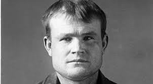 Circleville is the location of the Maximillian and Ann Campbell Gillies Parker cabin. These English immigrants and members of the Church of Jesus Christ of Latter-day Saints, came to the Utah Territory in the late 1850’s. The first of their 13 children was Robert Leroy Parker, named after his grandfather and later became known as Butch Cassidy.

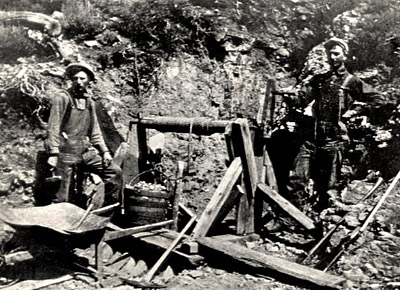 This District has a rich history of hard-working and enduring miners. Family histories are full of stories about the early settlers who traveled to bring provisions to their starving families. There were times when the snow was so deep and heavily pack that to navigate through the mountains they had to walk on handmade quilts to get through to their families.
Long Valley was once a community that lived faithfully by the United Order which was an early economical system in which the community shared their resources with each other.
No matter the lifestyle in the communities today, they are all bonded together everywhere by the water that flows from the mountain tops, to the mountain streams, then finally runs to the rivers, and on to the valleys.
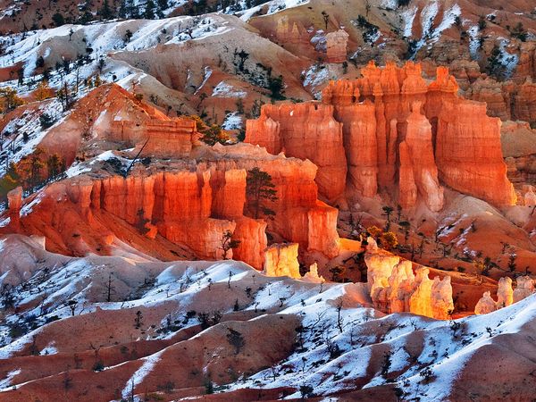
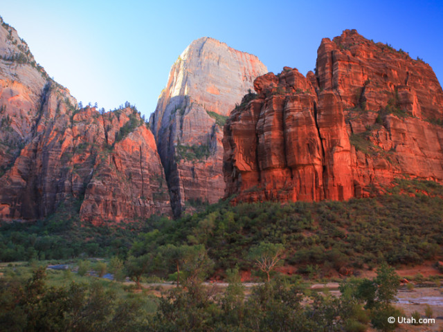
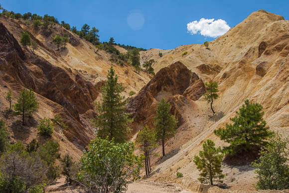 On the edge of Sevier Valley and the beginning of Headwaters District, you will discover the magic of the Big Rock Candy Mountain located a few miles north of Marysvale. The colorful volcanic rock in rich shades of red, orange, yellow, and white is the result of clustered strato-volcanoes which erupted. This eruption resulted in deposits of enormous amounts of lava and ash flow. These volcanoes are considered to be much the same as Mount St. Helens in Washington. These 3,000 feet thick volcanic rocks are known as the Bullion Canyon Volcanics.
The geological wonders of the region are a definite sight to behold. Located within the Fishlake National Forest, mineral deposits of Uranium, Alunite, Gold, Silver, Lead, Zinc, Tale, Mercury, Perlite, and Manganese are spectacular and plentiful.
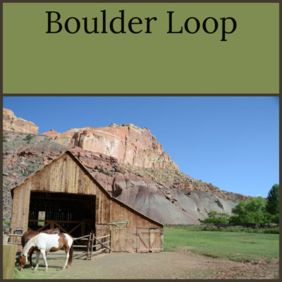
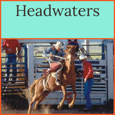
Among the many sites to see in the Headwaters District include:
National Monument:
National Forest:
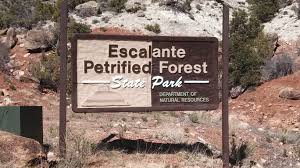
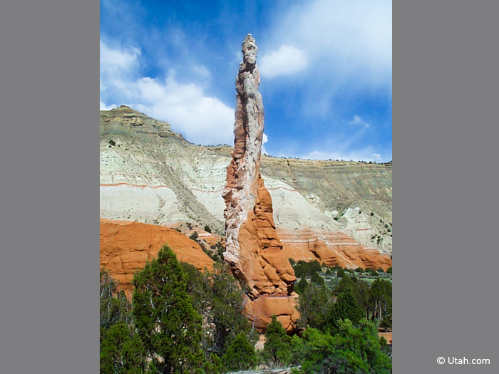
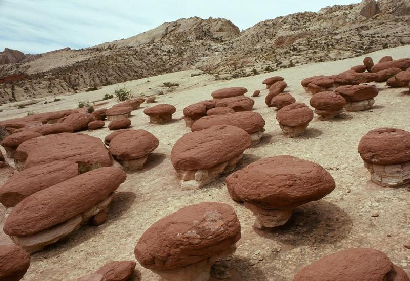
State Parks:![]()
Preserve America and Main Street Community:
National Historic Sites and District:
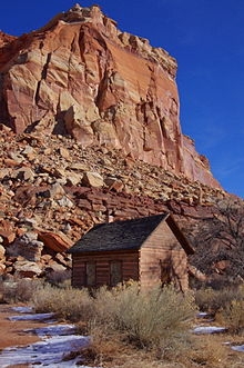
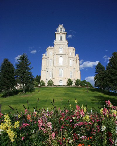
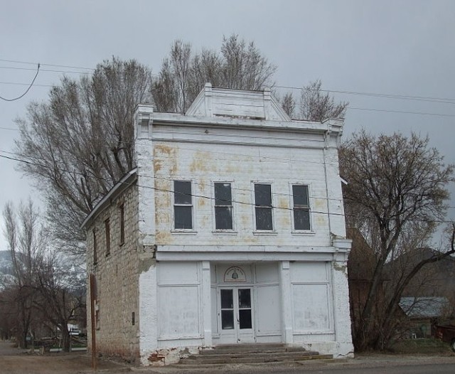
Historic Buildings and Pioneer Sites:
- Alton Shakespear Coal Mine
- John & Ella Morrill House, 1895, Junction
- Kimberly Ghost Town
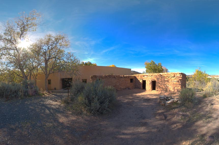
- Natural History Museum/Pioneer Museum
- Pines Hotel, 1882, Marysvale
- Piute County Courthouse, 1903, Junction
- Widstoe Schoolhouse, c. 1908
Cities in the Headwaters District
Follow Mormon Pioneer National Heritage Area’s board Headwaters on Pinterest.